Stay safe during thunderstorms. When thunder roars, go indoors.
What am I looking at?
High-Resolution Rapid Refresh model — 3 km resolution, updated hourly
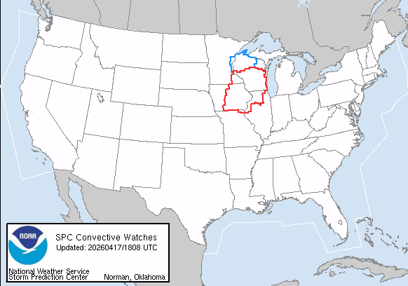
The SPC issues daily convective outlooks categorizing severe weather risk across the US. Tap any product below to view the official, up-to-date graphic directly from NOAA.
Today's severe weather risk across the US. Categories from General Thunder through High risk indicate the likelihood of tornadoes, large hail, or damaging winds.
- Updated 4x daily (0100, 0600, 1300, 1630 UTC)
- Covers today through 1200 UTC tomorrow
- Includes categorical and probabilistic outlooks
Probability of a tornado occurring within 25 miles of any given point today. A hatched area indicates a 10%+ chance of significant tornadoes (EF2+).
- Hatched area = significant tornado threat
- Updated with each Day 1 issuance
- Used by emergency managers nationwide
Probability of large hail (1"+ diameter) within 25 miles of a point today. Hatching indicates a 10%+ chance of significant hail (2"+ diameter).
- 1" threshold = quarter-size hail
- Significant hail (2"+) hatched separately
- Updated with each Day 1 issuance
Probability of damaging winds (58+ mph gusts) within 25 miles of a point today. Hatching indicates 10%+ chance of significant gusts (75+ mph).
- 58+ mph qualifies as damaging wind
- Derecho events often show broad wind areas
- Updated with each Day 1 issuance
Tomorrow's severe weather risk areas. Updated twice daily, this outlook helps emergency managers and the public prepare 24-48 hours in advance.
- Updated at 0600 and 1730 UTC
- Covers from 1200 UTC tomorrow
- Less detail than Day 1 — broader risk areas
Severe weather risk 48-72 hours out. Issued once daily, this extended outlook identifies broader areas where organized severe weather is possible.
- Issued once daily at 0730 UTC
- Probabilistic only — no categorical areas
- Used for early situational awareness
SPC Mesoscale Discussions are issued by the Storm Prediction Center to highlight areas of significant weather potential in the near term — typically 1–3 hours before a watch is expected. They are one of the most actionable products for storm spotters and chasers.
MDs describe the reason for issuance, current radar and satellite trends, the area of concern, and what watches or severe weather may follow. They also include a probability of watch issuance within the next 2 hours.


Official aviation weather tools powered by FAA and NOAA/AWC data sources.
- Water — one gallon per person per day for at least three days
- Food — at least a three-day supply of non-perishable food
- Battery-powered or hand-crank radio and NOAA Weather Radio
- Flashlight and extra batteries
- First aid kit and prescription medications
- Whistle to signal for help
- Dust masks to filter contaminated air
- Plastic sheeting and duct tape to shelter in place
- Moist towelettes, garbage bags, and plastic ties for sanitation
- Wrench or pliers to turn off utilities
- Manual can opener for food
- Local maps and cell phone with chargers and backup battery
- Store one gallon per person per day — minimum 3 days, ideally 2 weeks
- Use food-grade water storage containers
- Store water in a cool, dark place away from direct sunlight
- Replace stored water every 6–12 months
- If tap water is unsafe, boil for 1 minute or use purification tablets
- Don't forget water for pets — typically one quart per day for small dogs
- Know at least two exits from every room in your home
- Identify multiple evacuation routes from your neighborhood
- Plan a meeting place outside your home if you can't return
- Know your local emergency shelter locations
- Practice your evacuation plan with all household members
- Plan for pets — most public shelters do not accept animals
- Keep your gas tank at least half full during storm seasons
- Designate an out-of-state contact as your family's communication hub
- Make sure all family members know the contact's number by heart
- Establish a meeting place if you cannot return home
- Sign up for local emergency alerts and NOAA Weather Radio
- Enable wireless emergency alerts on all mobile devices
- Keep a written list of important phone numbers — don't rely only on your phone
- Keep a 30-day supply of prescription medications where possible
- Register with your local emergency management office if you have special needs
- Carry copies of medical records, insurance cards, and prescriptions
- If power-dependent (oxygen, dialysis), notify your utility company and register with local fire/EMS
- Know locations of the nearest hospitals and urgent care centers
- Plan for elderly family members and those with mobility limitations
- Identify the safest room for each type of hazard (tornado = interior room, earthquake = door frame or under table)
- Secure heavy furniture and appliances to walls to prevent tipping
- Know how to shut off gas, water, and electricity to your home
- Keep fire extinguishers on each floor and know how to use them
- Test smoke and carbon monoxide detectors monthly
- Keep important documents in a waterproof, fireproof container
Install NimboStratusAI on your phone's home screen for a native app-like experience.